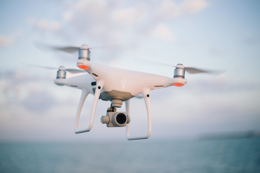
Aerial Photography
This galley below contains sample aerial photography images of the type that we capture using Unmanned Aerial Vehicles (UAV – also known as drones). UAV photography lends itself to capturing images that would otherwise not be possible in any other manner. Using HDR techniques, we are also able to produce images with excellent details with our drones. Often times, just being able to capture images from just a few feet higher off the grounds provides a very different perspective to our images. While most of our UAV work is for commercial efforts, many images are also used as custom fine art photography wall hangings.
In addition, use UAV’s to capture images that we “stitch” together to create very detailed orthomoasic photographs. Orthomoasic photographs are similar to Google Earth images but more detailed as we capture at much lower altitudes than satellites. Note that these orthomoasic photographs that we create are informational only and are not licensed survey quality documents. We can take that one step further and create a 3D model image of a building or a piece of land.
UAV images are also very helpful for construction progress reporting. Aerial views of a construction site taken at regular intervals (i.e. monthly) are often used by contractors as a part of their reports showing progress to their clients.
3b Photography has a fully licensed FAA Part 107 UAV Pilot on staff.
If you like our aerial photography, please take a look at our landscape photography gallery as we also use UAV’s to capture many of our landscape images.
Click on the button below to request more information on our aerial photography services.
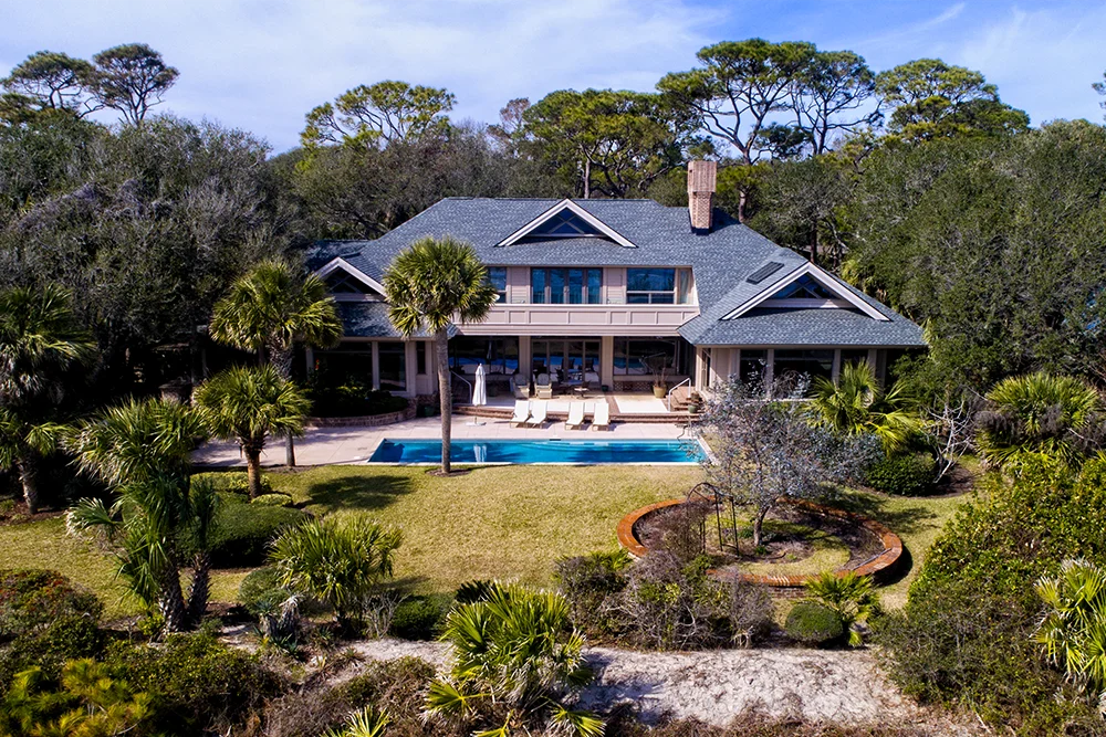 Aerial View of Beach Front Home
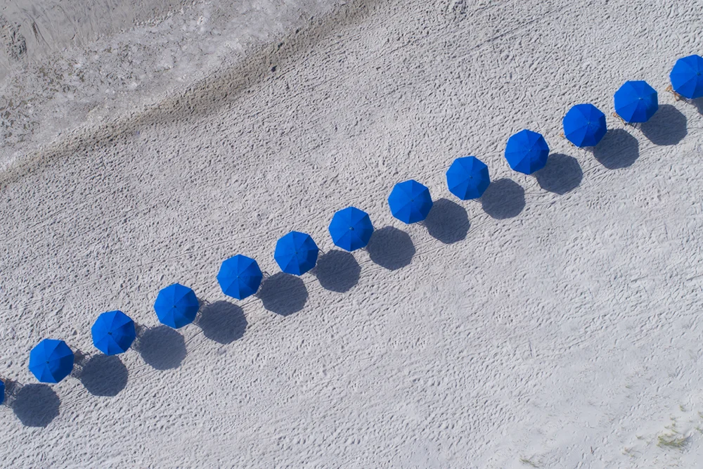 Line Of Beach Umbrellas
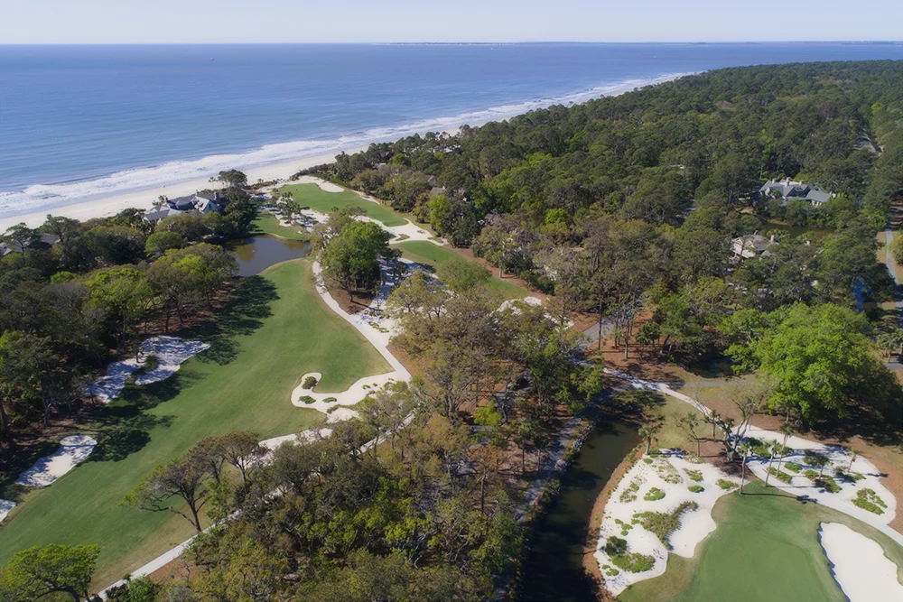 Ocean Front Golf Course
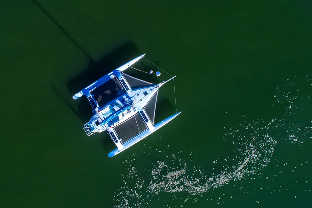 Anchored Sailboat
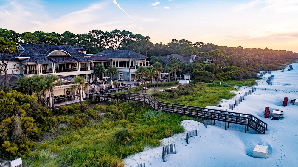 Aerial View of Ocean Front Beach Club
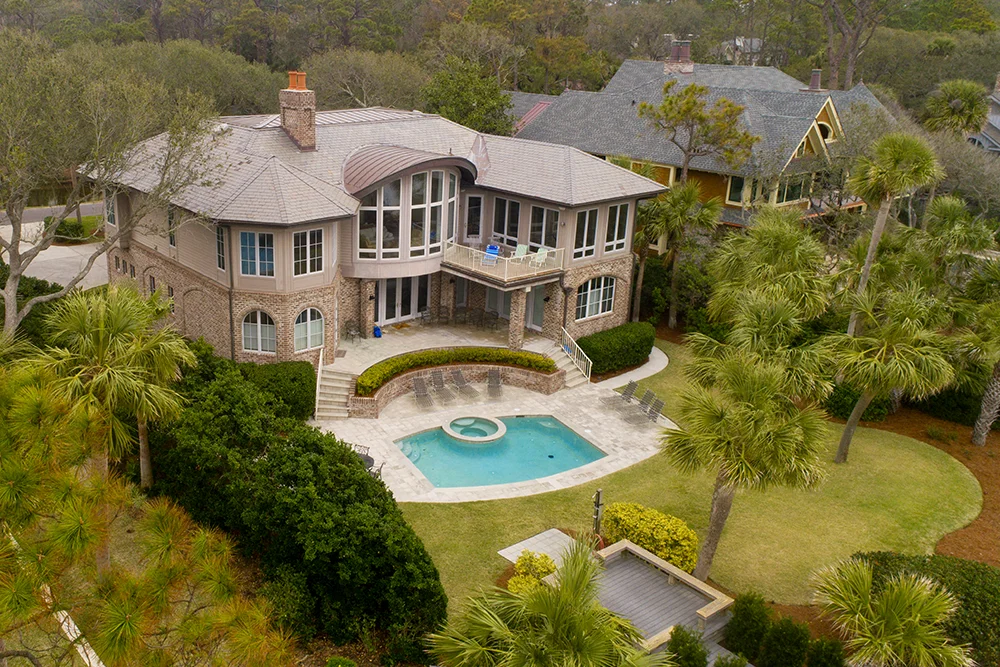 Ocean Front Home Aerial View
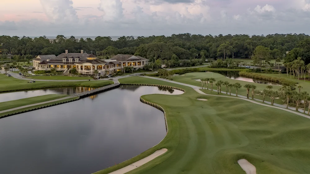 Golf Clubhouse Facility at Sunrise
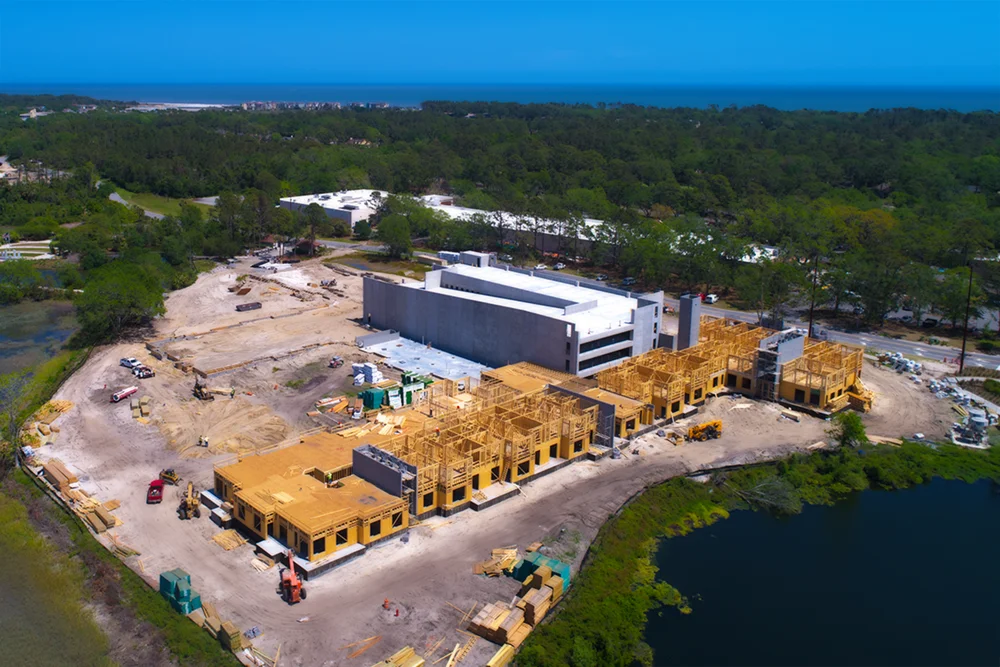 Condo Building Construction Progress Image
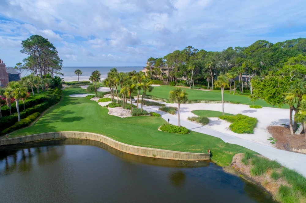 Oblique Aerial Golf Course Image
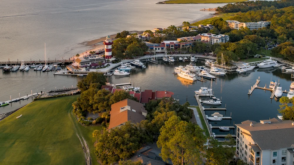 Aerial View of Harbour Town Marina at Sunset
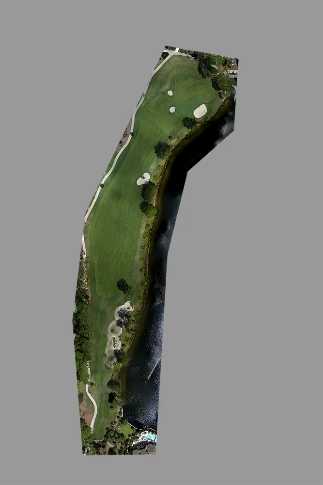 Orthomosaic Image of Golf Course Hole
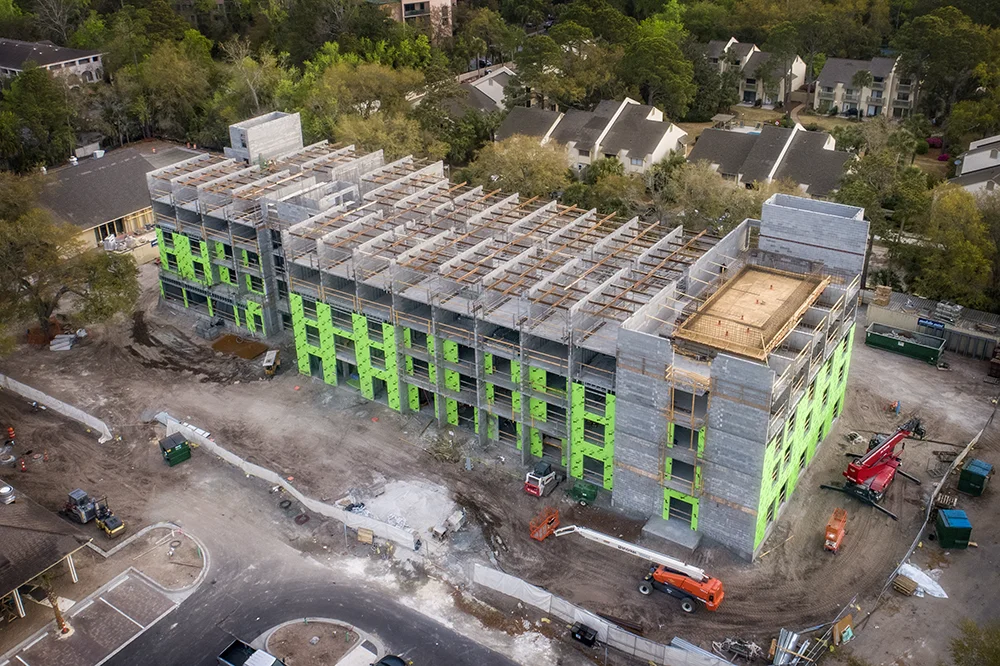 Hotel Construction Progress Report Image
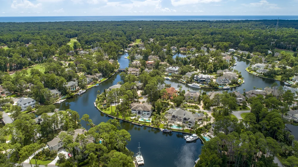 Housing Development Aerial Photography
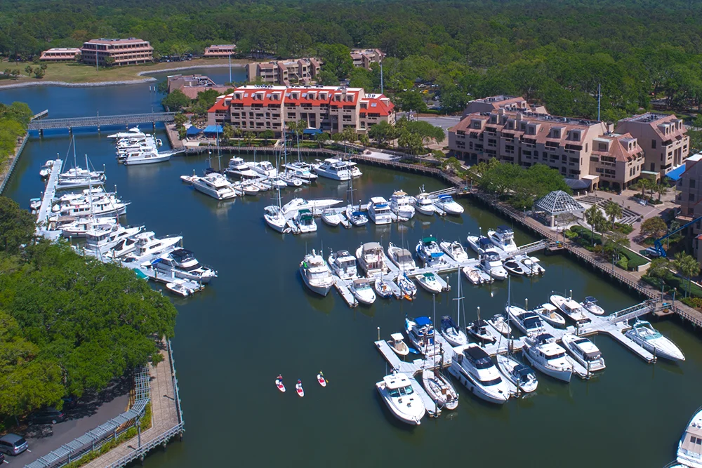 Aerial View Of Private Boat Marina
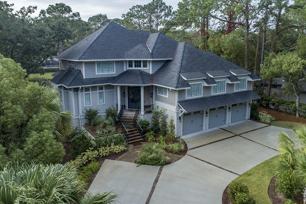 Recently Completed New Home Aerial Image
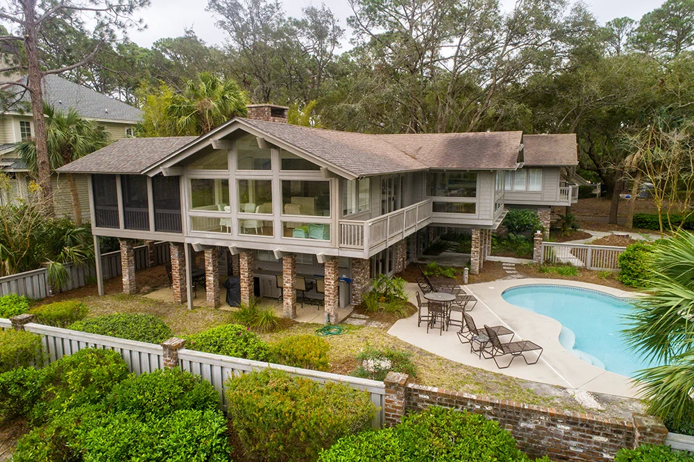 Rental Home Aerial Photography
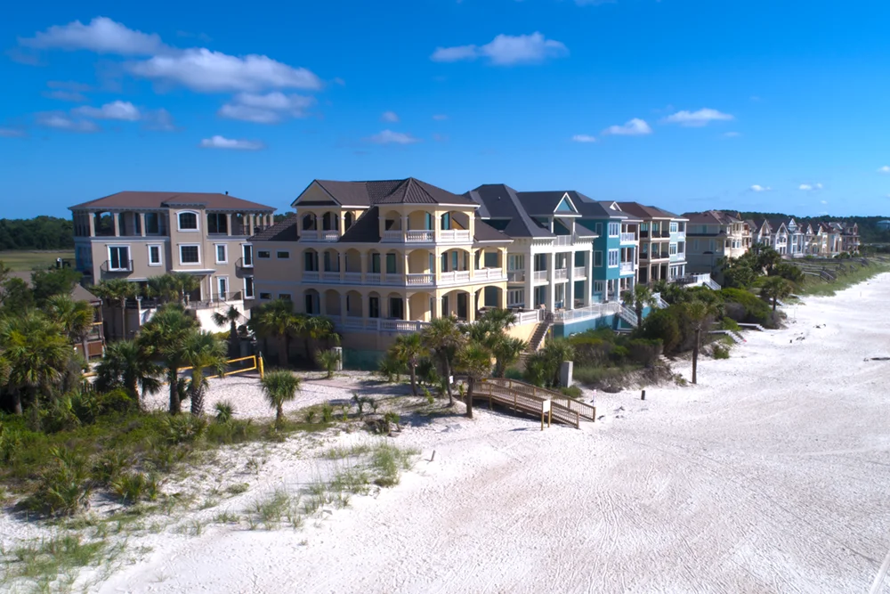 Line of Beach Front Homes
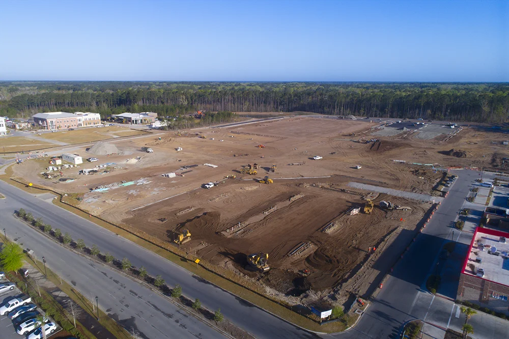 New Shopping Center Construction Progress Image